

 RTI Act
Central Geomatics Lab (CGL)
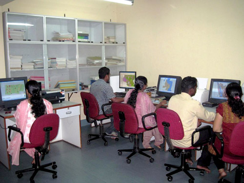 GIS laboratory was established in RAD in the year 1995. This was the first functional GIS laboratory not only in CESS but perhaps in Kerala. The laboratory started functioning with Arc-Info software, digitiser and plotter. ILWIS software was also put to use for limited purposes. Subsequently other soft wares like Arc-GIS, and ERDAS were added to strengthen the Laboratory.
First project executed was for Kerala State Pollution Control Board to prepare Zoining Atlas for Siting Industries in Palakkad, Ernakulam and Kannur districts and Kanjikode Industrial Estate. Remote Sensing work remained integral part of this laboratory. Few of the most significant projects executed are Preparation of digital road map of Trivandrum district using PAN imagery, funded by Kerala Highway Research Institute, GIS application for urban space management of TRIDA, Evaluation of Pamba Irrigation project, GIS application in riverine pollution studies, ADB sponsored High Priority Area Compendium in relation to coastal and marine resource management and RS-GIS application for generation of environmental statistics, funded by Central Statistical Organisation. In addition to GIS software, lab is well equipped with other instruments like total GPS station, current meter, map reader etc to support R & D activities.
Contact
Dr. Reji Srinivas, Coordinator, T: 0471-2511706, E: reji[dot]srinivas[at]ncess[dot]gov[dot]in